When I worked in Memphis City Schools, we implemented the team concept at each grade level. There were four teachers, one for each subject: Kohn (Language Arts), Shepherd (Science), Boykin (Algebra), and Paschall (Geography — this was me. I used my maiden name for professional reasons). Our students rotated throughout the four of us during one of our 7 periods. We had our team meetings twice a week to discuss where our students were academically and emotionally and to plan what strategies we could use to “our kids” to be successful.
One day, during our team meetings, Shepherd asked me if I was having the students learn about their countries. I had never considered it as a new teacher because there were so many countries and was unsure it was that important for students to mentally know where countries were located since they could always refer to a map. She stated that she had been incorporating countries around the world in her science curriculum, and “our kids” did not know where countries were within the world, nor what continent the countries were located. This opened my eyes to the importance of students having a general idea of where the 192 countries were located. Shepherd, a seasoned teacher, encouraged me to start giving them quizzes — I did, and it increased my students’ global spatial awareness of the world.
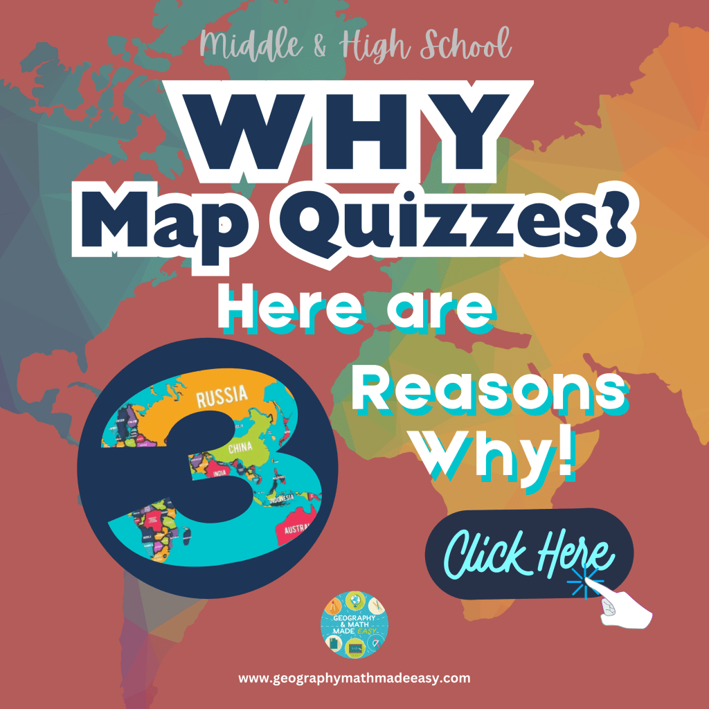
There are several compelling reasons why incorporating map quizzes in geography class is essential for a well-rounded education.
1️⃣ Map quizzes help students develop and improve their spatial skills. Geography often involves understanding and interpreting maps, and regular quizzes provide students with the opportunity to practice these skills. By regularly engaging in map quizzes, students become more adept at reading and interpreting spatial information, which is a crucial skill in various professions and everyday life.
2️⃣ Map quizzes contribute to a deeper understanding and appreciation of the world. By actively engaging with maps, students gain a broader perspective of different regions, cultures, and natural landscapes. They develop a sense of global awareness and a greater understanding of the interconnectedness of various phenomena, such as climate change, migration patterns, and geopolitical relationships.
3️⃣ Map quizzes in geography class enhance memory retention and recall of geographical information. Through regular exposure to maps and associated quizzes, students are more likely to retain important geographic facts and details. This knowledge retention contributes to the overall depth of their understanding and facilitates information recall in future academic or professional settings.
In addition to map quizzes, we also began studying current events around the world requiring students to locate the relative and absolute location of the country/city/state. These were assigned as a home assignment — giving them Monday through Thursday to complete and having a discussion on Friday. As stated before, this assisted global spatial awareness. They were allowed to watch the news, and read online articles, newspapers, magazines, etc. The world is so interconnected and it is/was important they have recall of the countries throughout the world. Why? If they watch the news and Nepal is being talked reported on, how would they be able to make a connection if they don’t know Nepal is in Asia? If they looked at where their clothes and technology were made, how would they know the location of Japan, China, or Guatemala? We know students make connections based on schema (pre-existing knowledge) and experiences they have had. Let’s be honest, students often will not make the effort to open an online map or atlas to figure it out, so let’s give them the tools and knowledge they will carry and use for life.
There is importance in students being able to quickly identify the location of countries, cities, capitals, states, provinces, etc., or at least recall the continent with which it lies.
So, how did I implement map quizzes so it isn’t too painful and outside work for the students?
My initial plan was to give students a map quiz once a year on the various regions of the continents, but quickly, I realized this wouldn’t accomplish my goal of long-term memory. My goal was to get the information from short-term memory to their long-term memory so they would not have to depend solely on maps.
Here is how I did it. Every week, I would write 10 -15 countries on sentence strips and display them using a hanging chart. This way, they were always visible to the students during class time. We would discuss the countries they were to identify and be able to locate. At home, I had them take online map quizzes for practice. I did my best to break it down into regions and once they learned and were tested on each region, and would test them on the entire continent. So for instance, let’s look at Europe. We would begin learning the countries of four Eastern Europe, Southern Europe, Western Europe, and Northern Europe. If students needed it broken down even more (based on ability levels), I may cut it down to the 7 regions: Nordic Countries, Eastern Europe, Central Europe, Southern Europe, Western Europe, British Isles, and the Baltics. For students who had IEPs (Individual Education Plans) and needed extra assistance, I would provide a word bank to help them recall the names. But my non-IEP students were required to (1) recall the names (2) be able to spell them, and (3) of course, be able to identify the location. Students were provided with online map quizzes they could use to practice.
Parents were aware of “Map Quiz Friday”. In addition, I would list those countries on my classroom website so parents would know which countries were being learned that week. We as a class would go over the countries on Monday and they were to learn them by Friday. When going over it on Monday, I would give them tools to remember them such as acronyms or making up stories with the countries. One I used a lot was that Austria looks like a tadpole or fish, and it is carrying cheese (Czech Republic) on its head. It is very hungry “Hungary” and because of this is swimming very slow (Slovenia and Slovakia). These stories would make them laugh surprisingly and help them remember where one country was located in relation to another. For Central America, we used an acronym:
- Great—Guatemala
- Big—Belize
- Elephants—El Salvador
- Have—Honduras
- Nasty—Nicaragua
- Crunchy—Costa Rica
- Poop—Panama
Actually, one of my student’s parents came up with this acronym, but I quickly adopted it as the students loved it. Remember, we are working with middle schoolers so the funnier or crazier the acronym the more memorable. Oh boy, did they remember this one! Have fun with them!
We would rotate through continents throughout the year. Once we cover the entire world, we would start over with the United States and, again, work our way to Central America, South America, Europe, Asia, and Africa. We could get through three rounds a year if not more. This was getting the information from their short-term memory into their long-term memory.
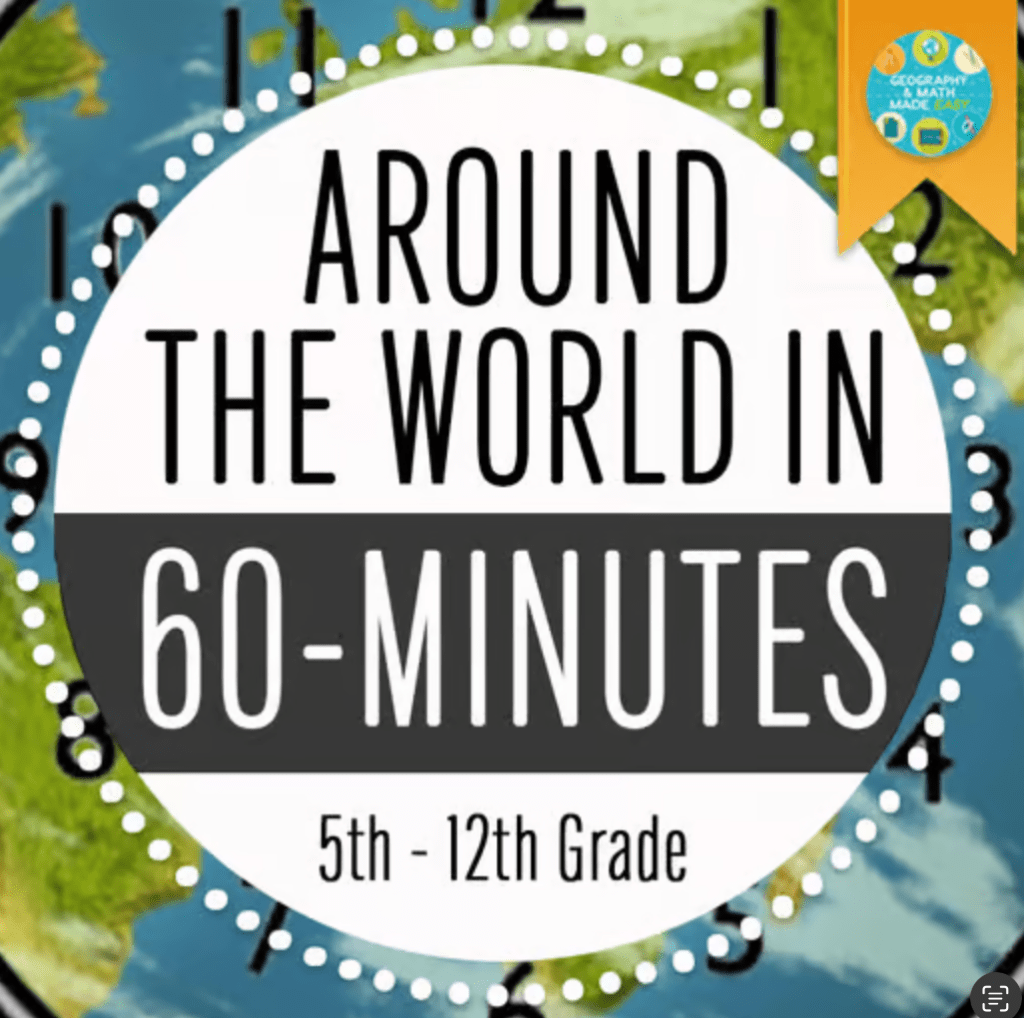
Once we made it through the entire world with our first round, I would use a game I created from one of my childhood classroom games we loved to play called “Around the World Game.” I would use this to gauge where they were in their recall and to give them a fun way to review the country’s relation to the continents.
So, is it important to teach students where countries are located? My belief is yes! Students, by the time they graduate, should know the general location of all countries. The world is smaller, and we are becoming more interconnected. It opens up the student’s awareness of the world around them.
Here are some tools to help this process go more smoothly:
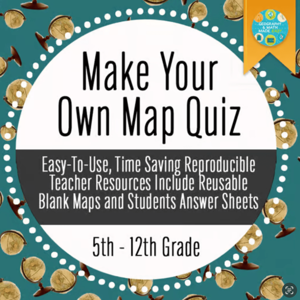
Make Your Own Map Quiz (I highly suggest this resource over premade assessments in my store as you can reuse it and if you have to retest all you need to do is change the number around in 5 minutes.)

World Map Quizzes This resource provides premade quizzes for all continents breaking them up into regions.
Around the World Game this game allows students to have fun and recall on which continent each country lies. Students would play this when there was downtime or on days students were going to miss classes due to pep rallies and other school activities. They love it! It gets them up and moving while learning.
FOLLOW US:
As teachers, we are often overworked and pulled in too many directions. We often put others before ourselves and it is hard to learn to take care of ourselves. Addressing mental health is part of self-care for our minds, bodies, and souls. Remember, if your cup is empty, you can’t fill someone else’s cup. Here are 27 FREE COUNSELING OPTIONS FOR
TEACHERS https://www.weareteachers.com/free-counseling-for-teachers/
FOLLOW US: