Are you always on the lookout for fresh, creative ways to make geography more engaging for your students? Do you struggle to come up with innovative ideas and not feel like your geography class is just humdrum? Let’s explore a few of the principles of geography instruction through the eyes of Mark Enser. When teaching geography, he focuses on the six essential concepts for educators. The initial hurdle is introducing students to unfamiliar geographical ideas. The concept of:
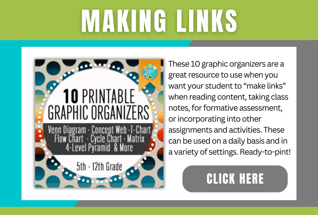
① Making Links emphasizes the importance of connecting various themes and topics for a more comprehensive understanding.
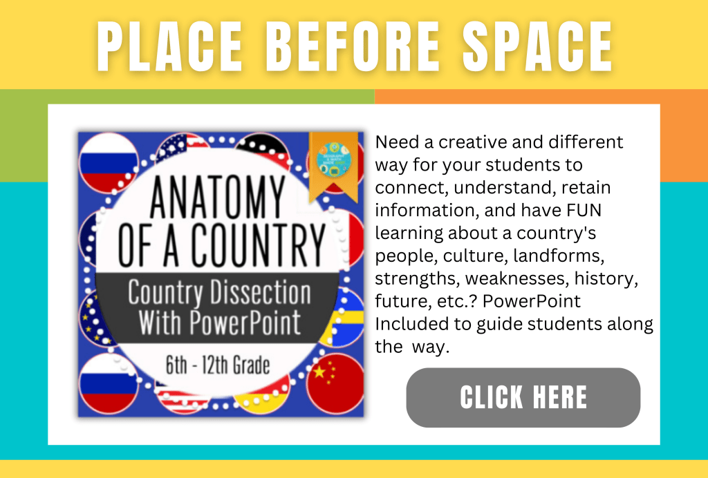
② Place before Space highlights the significance of grasping specific locations before delving into broader spatial concepts.
③ Cognitive Load Theory underscores the need to organize lessons in a way that minimizes mental strain on students.
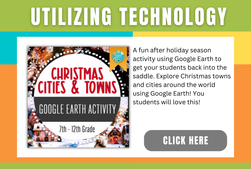
④ Geographical Inquiry and Utilizing Technology are also key components.
Together, these principles collaborate to enrich students’ comprehension and admiration of geography. Let’s take a closer look at a few of these principles.
Making Links
It is rare in geography for something not to be connected to another part of geography. Practically everything you have studied is linked and interrelated with something else. Making links allows us and our students to explore connections between different geographical features, regions, and cultures in an interactive and engaging way. By making links, we can see how events in one part of the world can impact another, how climates influence ecosystems, and how societies have evolved over time. It’s like putting together a giant puzzle where every piece fits perfectly into place. With making links, we can expand our understanding of the world around us and gain a deeper appreciation for the complexities of our planet’s geography.
Example: Using flow charts or circle charts is a good way to help students make connections. When studying a natural disaster such as a hurricane or earthquake, you may explore how the natural disaster affected population density. Did people migrate to other locations lowering the population density. What were the reasons people moved? How did it affect the economy, available resources, housing, and jobs? Making these connections can help students gain a deeper understanding.
Place Before Space
Geography is all about place before space. Understanding the importance of place allows us to appreciate the uniqueness and individuality of different locations around the world. It’s not just about knowing coordinates on a map, but rather delving into the physical, cultural, and human characteristics that make each place special. Geography helps us explore how these aspects interact and shape our planet, from the climate patterns to the diverse ecosystems to the cultural traditions. By prioritizing place over space, we can truly appreciate and value our world and gain a deeper understanding of both our communities and those far beyond our borders. The adventure in exploring geography begins with embracing this concept of place before space, and I am excited to embark on this journey of discovery.
Example: First students need to understand the difference between place and space. Place is a spot that is significant or important to you: home, work, school, house of worship. Space is the area you travel through to get from one place to another. When you go from your home to the school, you are moving through space. Using cognitive mapping is useful in teaching this. This requires students to draw a map of a particular area from memory without visual aid. For instance, ask students to draw a map of the area around the school, then ask them to share and compare and contrast them. Even though they are of the same location, they are going to look different because they understand the area as a place differently than one another. Or you may ask students to work together to draw a map of Africa from memory and see how well they can depict the shape of the continent as well as the countries and landforms within each continent. Then you may have them compare and contrast their drawing to an actual map of Africa.
Cognitive Load Theory
This is the concept of understanding how the brain processes and stores information. Educators can design lessons that minimize cognitive overload and maximize learning potential. By presenting information in a clear, concise manner, breaking down complex concepts into smaller chunks, and providing opportunities for practice and repetition, students are better able to retain and apply geographical knowledge. Additionally, incorporating visual aids, interactive activities, and real-world examples can further support student comprehension and engagement. With Cognitive Load Theory as a guiding principle in geography education, teachers have a powerful tool to optimize learning outcomes and foster a deeper understanding and appreciation of the world around us.
Example: Rather than lecture for an hour and overload the students with information, understand that the brain can only store a small amount of information at one time, and we must focus on how to get the information from working short-term memory to long-term memory. Various ways of doing this are to encourage higher-level problem-solving skills and use schema. So, for instance, instead of just reading about environmental issues in Asia, have students research a problem, but have students research what led to the problem and devise a solution for the problem. This will require a clear and thorough understanding of the environmental problem and, therefore, more information will remain in long-term memory.

Geographical Inquiry and Utilizing Technology
We can integrate modern technologies such as Geographic Information Systems (GIS), remote sensing, and satellite imagery. This integration allows us to explore our planet in ways that were previously unimaginable. These tools allow us to create detailed maps. They help us analyze spatial patterns. We can also monitor changes in the environment with precision and accuracy. Through geographical inquiry, we can address pressing global issues such as climate change, natural disasters, or urbanization by examining their spatial dimensions and understanding how they impact different regions. The possibilities for discovery and exploration are endless when we harness the power of technology in geographic research. Geography becomes a dynamic field that continues to evolve. It inspires new generations of explorers and researchers.
Example: Incorporate into your lesson technology such as ESRI’s ArcGIS Online software, geographic information system (GIS), and Google Earth.
I realize this can be a lot all at once to implement. Just incorporate one principle at a time, and once you have mastered one principle, add a second and then a third. It will take time to get the hang of incorporating these into your lessons. Just take your time; it will become easier with practice.
MENTAL HEALTH TIPS FOR TEACHERS
As teachers, we are often overworked and pulled in too many directions. We often put others before ourselves, and learning to care for ourselves is hard. Addressing mental health is part of self-care for our minds, bodies, and souls. Remember, you can’t fill someone else’s cup if your cup is empty. Here are 27 FREE COUNSELING OPTIONS FOR TEACHERS offering free online chats, buddy systems, peer-to-peer support communities, Employee Assistance Program (EPA) free counseling sessions, meditative art classes, and more. https://www.weareteachers.com/free-counseling-for-teachers/
FOLLOW US:
Follow us on our social media accounts and various teacher resources platforms. Simply click the icons below and follow or like us.
TEACHERS https://www.weareteachers.com/free-counseling-for-teachers/


#geographyandmathmadeeasy#teachertherapy#therapy#geography#middleschool#highschool
